Why AR Navigation Fails Near the Destination
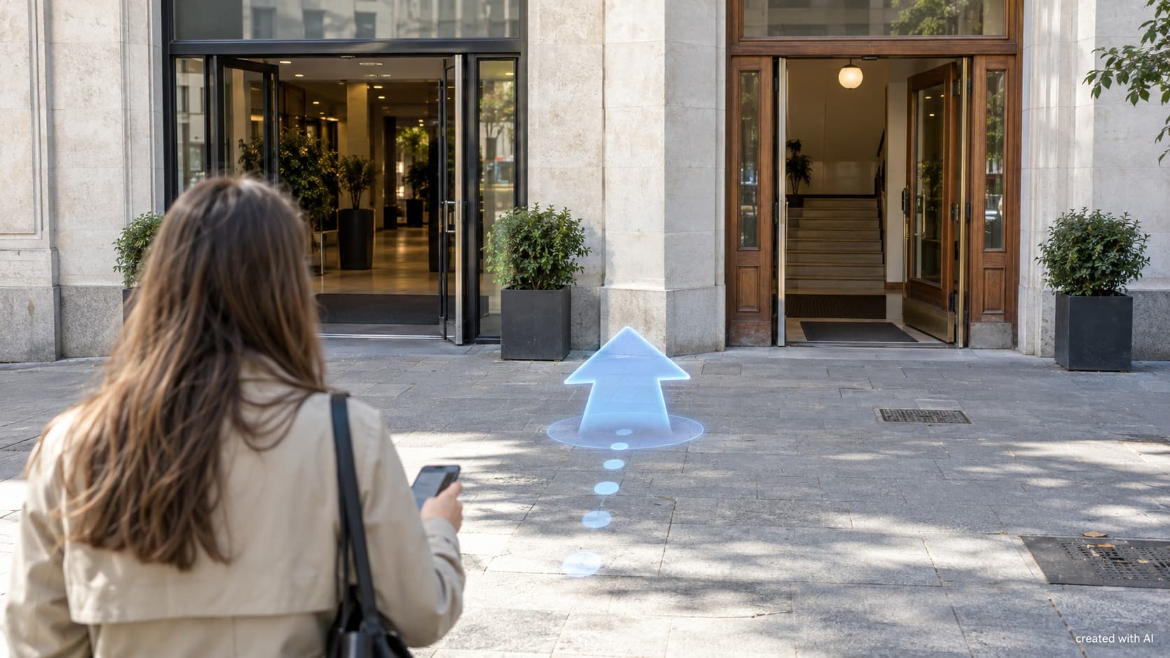
Augmented-reality navigation appears most useful at the end of a journey. Yet those last few metres are where a small location error becomes highly visible. An arrow that looked convincing across a city block may suddenly point at a wall or the neighbouring entrance.
The Final Metres Demand Greater Precision
Road navigation can tolerate a modest error because streets and junctions are separated by recognisable distances. A building frontage is less forgiving. Two doors may sit three metres apart, and a shopping centre can have several entrances attached to one address.
Several uncertainties accumulate as the destination gets closer:
- satellite positioning may place the phone on the wrong side of the street;
- the compass may report an inaccurate heading;
- the camera may not recognise enough stable features;
- the destination record may refer to the building centre rather than its public entrance.
These errors may be barely noticeable on a flat map. AR makes them obvious because its graphics are drawn against real doors, pavements and corners.
Position and Direction Are Separate Problems
Knowing the phone’s approximate coordinates does not establish which way its camera is facing. AR navigation also needs orientation: pitch, roll and, most importantly for walking directions, heading. Gyroscopes and accelerometers track movement, while a magnetometer helps establish north.
The magnetometer is vulnerable to nearby metal, electrical equipment and magnetic accessories. Steel structures, vehicles and station infrastructure can disturb its reading. A small heading error grows visually with distance. If a virtual arrow points five degrees away from the correct bearing, it may appear attached to the wrong shopfront farther down the pavement.
Camera tracking helps stabilise the graphics once movement begins. It follows visual features such as corners, textured paving and edges. A blank wall, reflective glass, repeated windows or rapid movement provides weaker evidence, so the arrow can drift while the system tries to recover its pose.
GPS Identifies an Area, Not a Doorway
A phone estimates location using several signals rather than treating GPS as an infallible point. Satellite signals can be reflected by tall buildings before reaching the receiver, creating the urban-canyon problem. Trees, roofs and narrow streets also reduce the visible portion of the sky.
Garmin’s explanation of GPS states that its receivers are typically accurate to about 10 metres, with better results possible under open skies. Ten metres is useful for identifying a street or building. It cannot reliably distinguish a lobby entrance, side door and vehicle gate along one façade.
Altitude adds another complication. A destination may belong to an upper walkway, underground concourse or street-level entrance. Latitude and longitude alone cannot explain which floor contains the usable route.
Visual Positioning Supplies the Missing Detail
A visual positioning system compares camera images with a mapped model of the surroundings. Distinctive windows, masonry, signs and rooflines can help it calculate position and viewing direction more precisely than satellite data alone.
Google explains that its ARCore Geospatial API combines device sensors and GPS with the Visual Positioning System. VPS matches recognisable parts of the camera view against a 3D localisation model derived from Street View imagery. A geospatial anchor can then place content at a defined latitude, longitude and altitude.
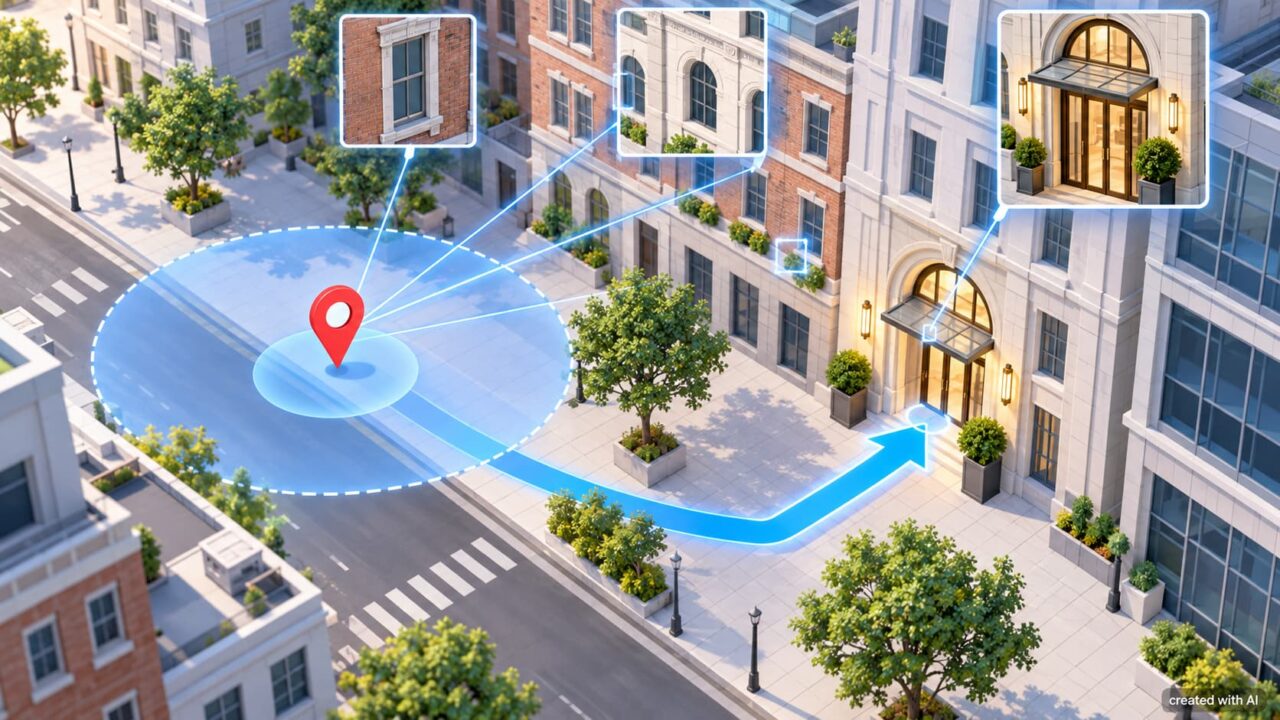
This correction explains why some AR routes become steadier after the camera has viewed a façade for a moment. The system has gained visual evidence that the blue location dot could not provide by itself.
A Correct Model Can Still Meet the Wrong Entrance
Precise localisation cannot repair inaccurate destination data. A business pin may be attached to the centre of a property, while the accessible entrance is around the corner. A railway station may have exits on several streets. Construction barriers can close the door used when the route was mapped.
Visual models also age. Scaffolding, seasonal trees, new signs and altered façades can hide the features used for matching. Poor light, glare or heavy rain may make a mapped location harder to recognise. Strong AR navigation therefore needs current entrance information as well as accurate positioning.
Reliable Arrival Needs Graceful Failure
A useful system should recognise uncertainty rather than present every arrow with equal confidence. Good arrival behaviour can include:
- showing a wider target area while location confidence remains low;
- asking for a slow camera scan before placing a precise arrow;
- naming the entrance or street beside the destination;
- returning to a conventional map when visual localisation fails.
The transition matters because a floating arrow naturally looks authoritative. If the software cannot distinguish two nearby doors, a labelled map and a short instruction are more honest than a precise-looking graphic in the wrong place.
AR navigation succeeds when several estimates agree: satellite position, sensor heading, camera tracking, visual localisation and accurate entrance data. Near the destination, the task is no longer finding the correct neighbourhood. It is matching a digital instruction to one specific feature in the physical world, where even a few metres can separate arrival from another wrong turn.